
Subsurface Services
Our Subsurface Services
Integrated subsurface services combining geophysics, drilling, utility investigation, and imaging to deliver field-verified data that supports confident project decisions.
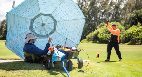
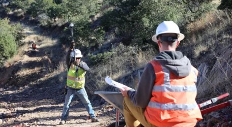
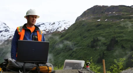
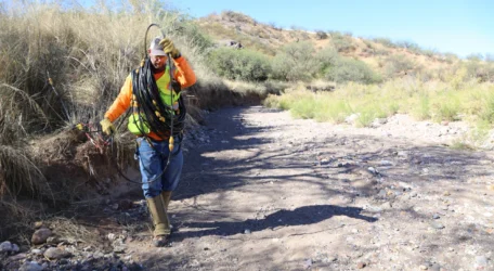
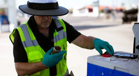
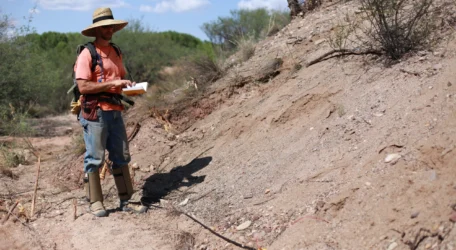
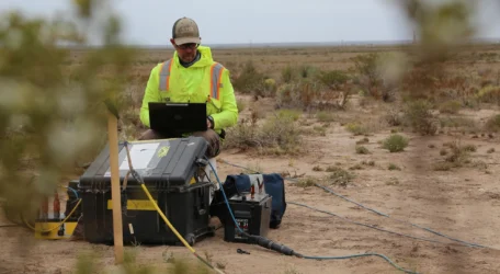
Geophysical Characterization
Geophysical characterization uses non-invasive measurement techniques to evaluate subsurface materials, structure, and moisture conditions. Surface and borehole methods are applied based on site objectives to define layering, depth, variability, and structural features. The result is field-acquired data that supports planning, investigation design, and informed decision-making.
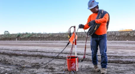
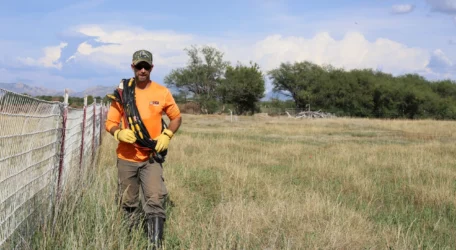
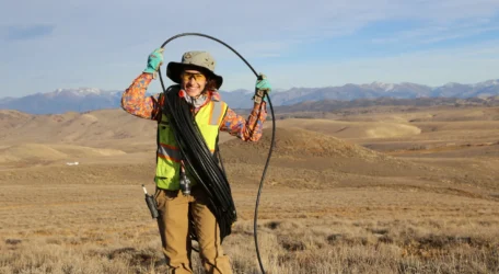
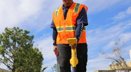
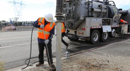
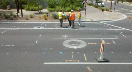
Utility Investigation Services
Utility investigation services combine locating, mapping, and direct verification to clarify underground conditions. Field-based methods are selected based on site constraints and project needs. The result is documented, defensible utility information that supports safer excavation, improved coordination, and reduced project risk.
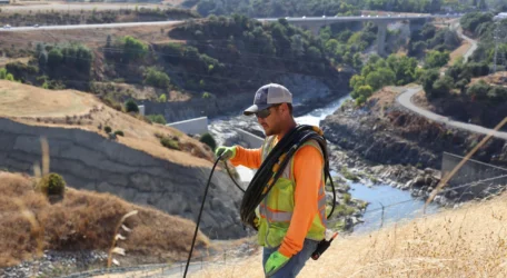
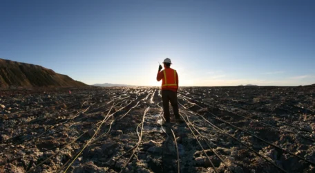
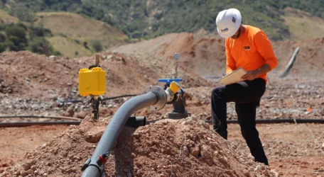
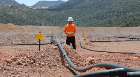
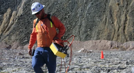
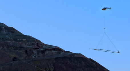
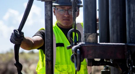
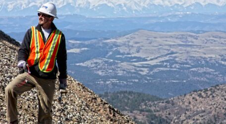
Geophysics for Mining Operations
Geophysical technologies provide powerful tools for understanding subsurface conditions across mining operations. From heap leach performance and tailings stability to mineral exploration and airborne mapping, these methods deliver reliable subsurface data that supports operational monitoring, resource evaluation, and improved mine planning.
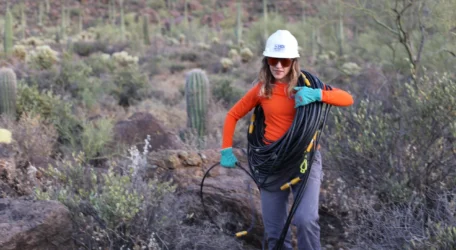
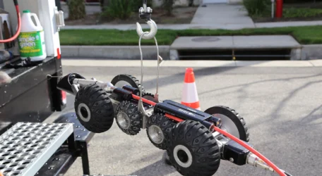
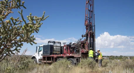
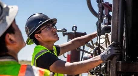
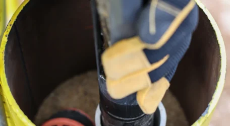
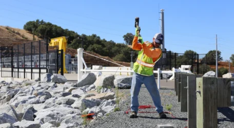
Integrated Drilling Services
Drilling services provide direct access to subsurface conditions for investigation, monitoring, and project development. Our teams support environmental, geotechnical, and monitoring programs with safe, efficient drilling operations, reliable sampling, and specialized downhole services that deliver the information needed to guide site decisions.
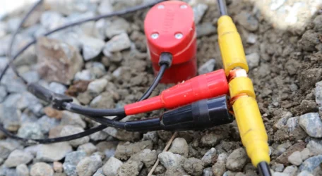
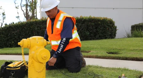
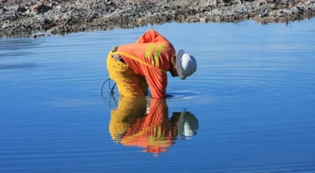
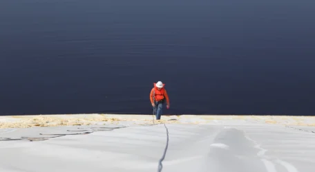
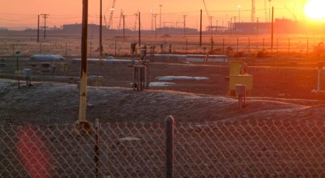
Leak Detection Services
Leak detection technologies identify fluid loss from critical infrastructure such as ponds, pipelines, and dams. Using advanced geophysical methods, these investigations locate leak pathways and zones of seepage, helping operators protect water resources, maintain infrastructure performance, and make informed decisions about repair and maintenance.
Environmental Monitoring
Geophysical methods provide powerful tools for monitoring environmental conditions and detecting subsurface changes over time. These non-invasive technologies map contamination, groundwater conditions, and subsurface infrastructure, helping environmental teams understand site conditions, guide remediation strategies, and support long-term environmental management.
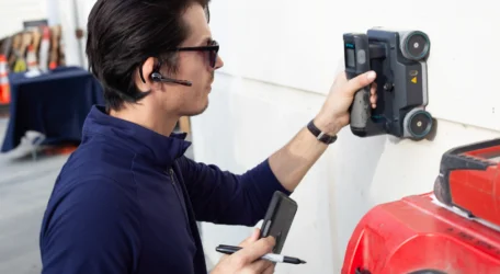
Infrastructure Integrity
Infrastructure systems require reliable information about hidden conditions before maintenance, repair, or construction begins. Our investigation services evaluate structural elements, pavements, and subsurface conditions using non-destructive technologies that help teams understand asset performance, plan repairs, and support long-term infrastructure management.

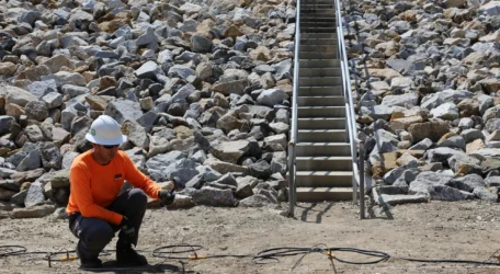
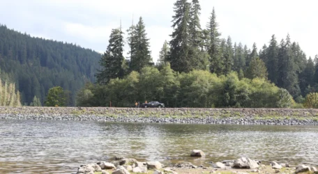
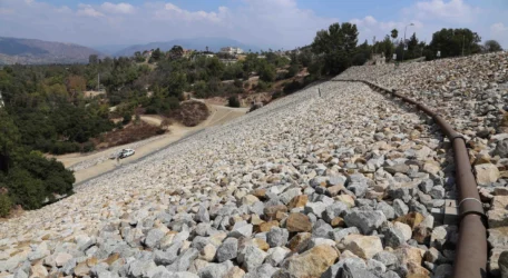
Dam Characterization
Understanding internal dam conditions is essential for maintaining safety and long-term performance. Geophysical investigations provide insight into embankment structure, seepage pathways, and subsurface conditions without disturbing the dam. These methods support dam safety programs, monitoring efforts, and engineering decisions related to maintenance and risk management.
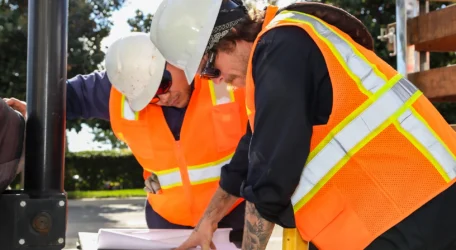
Integrated Subsurface Services
Certerra Subsurface delivers integrated subsurface investigation services including geophysical surveys, drilling, leak detection, and infrastructure assessment. Our teams provide reliable data that helps engineers, mine operators, and environmental professionals understand underground conditions, reduce uncertainty, and support informed decisions across complex projects.