

Certerra Subsurface Liner Leak Location – Pinpointing industrial pond liner leaks
News2 Mar 2026
Void detection identifies subsurface gaps and anomalies beneath concrete, pavement, and structural elements. Non-destructive investigation methods are used to locate areas of potential concern without cutting, coring, or excavation.
Voids beneath slabs, pavements, and structures may develop due to settlement, material loss, or construction conditions. These subsurface gaps are not visible at the surface and can create uncertainty during maintenance, repair, or redevelopment activities.
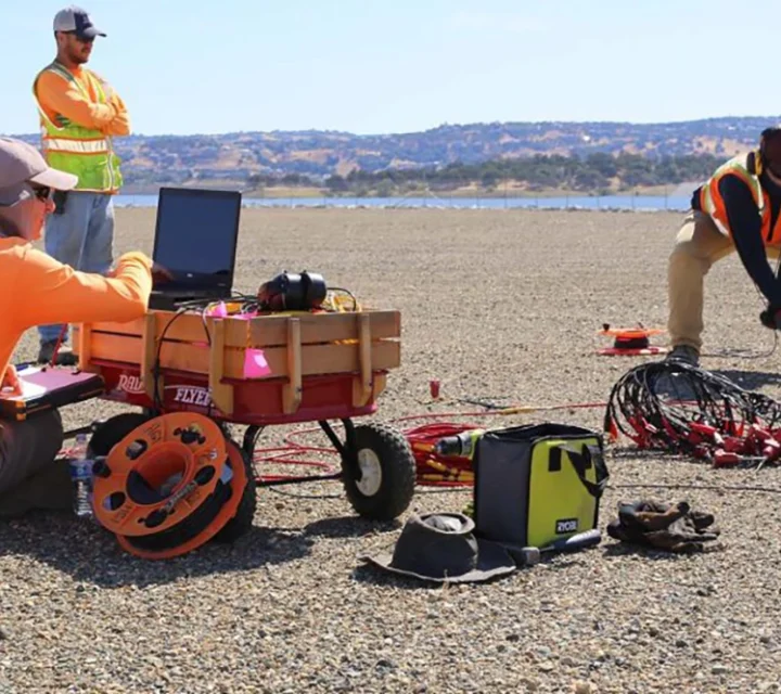
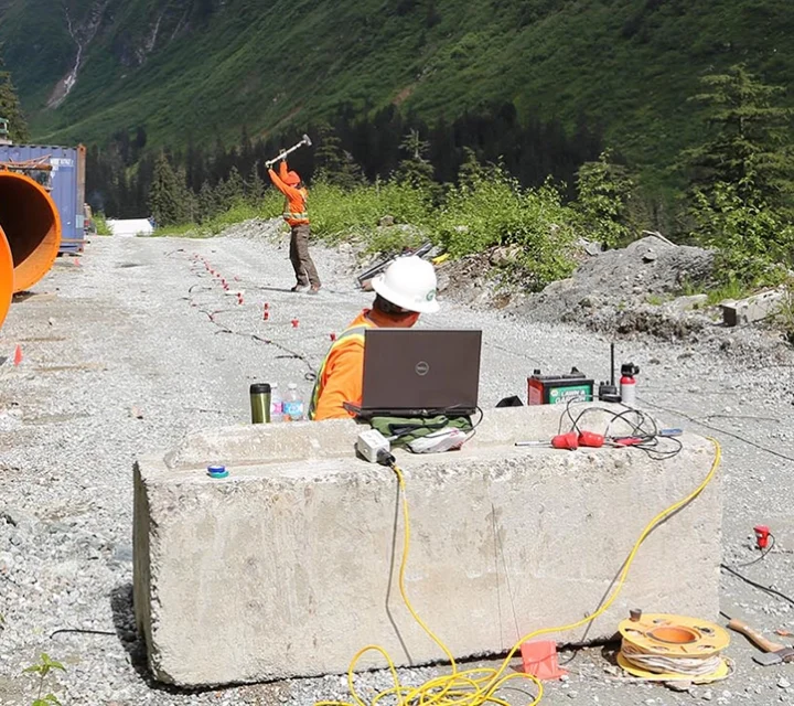
Void detection is performed using surface-based scanning methods that image subsurface conditions. Data is collected across defined areas to identify anomalies consistent with gaps or changes in material, without disturbing existing structures or surfaces.
Deliverables include mapped areas of interest, documented scan results, and supporting observations. Information is provided to support planning, coordination, and decision-making where subsurface conditions require further consideration.
Void detection is commonly applied where subsurface gaps may affect existing infrastructure or planned work activities.
Identify potential voids beneath floor slabs in industrial, commercial, or municipal facilities prior to repair or modification.
Detect subsurface gaps beneath pavement systems that may contribute to settlement or surface distress.
Assess subsurface conditions beneath foundations where access is limited and excavation is undesirable.
Void detection relies on non-destructive investigation methods to identify subsurface gaps and anomalies. These approaches provide internal visibility while preserving existing surfaces and structures.
Systematic scanning used to evaluate subsurface conditions across defined areas.
Non-invasive imaging used to identify anomalies beneath concrete and pavement.
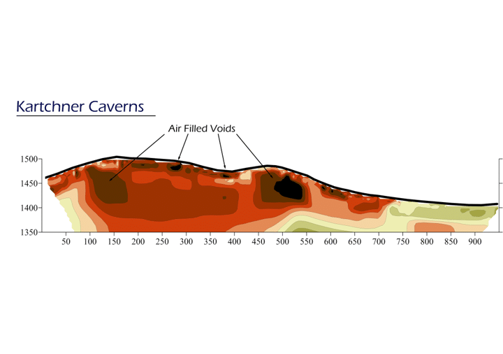
Collected data reviewed to identify areas consistent with potential voids.
Learn more about how void detection is performed, what it identifies, and how results are used to support infrastructure integrity evaluations.
A void is a subsurface gap or loss of material beneath a structure or surface.
No. Void detection is performed using non-destructive surface-based investigation methods.
No. The service identifies subsurface anomalies but does not determine cause or responsibility.
Results are documented through maps, scan data, and supporting observations.
Understand subsurface conditions before repair or construction begins. Void detection services provide insight into hidden gaps that may affect infrastructure planning and coordination.
Loading...

