

Certerra Subsurface Liner Leak Location – Pinpointing industrial pond liner leaks
News2 Mar 2026
Subsurface profiling uses geophysical imaging to map variations in soil, rock, and moisture that control fluid movement. This approach reveals subsurface structure, contamination pathways, and groundwater behavior, providing critical data for plume mapping, environmental investigations, and site characterization projects.
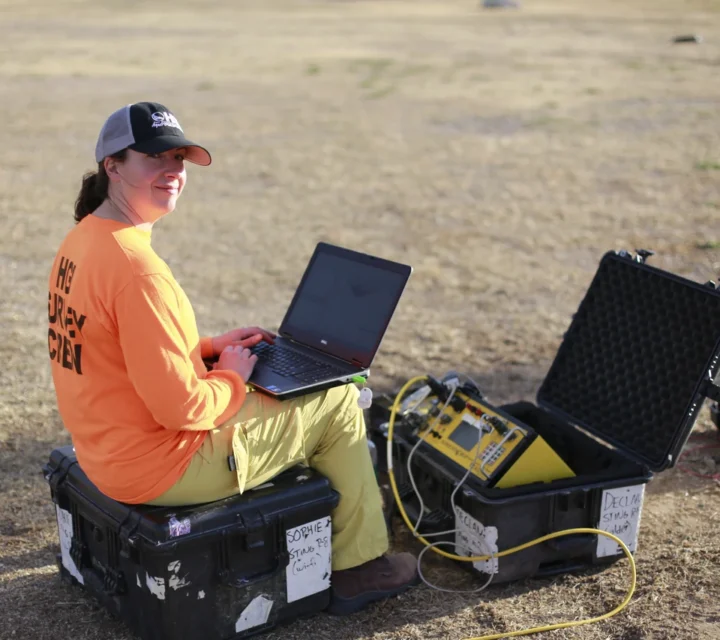
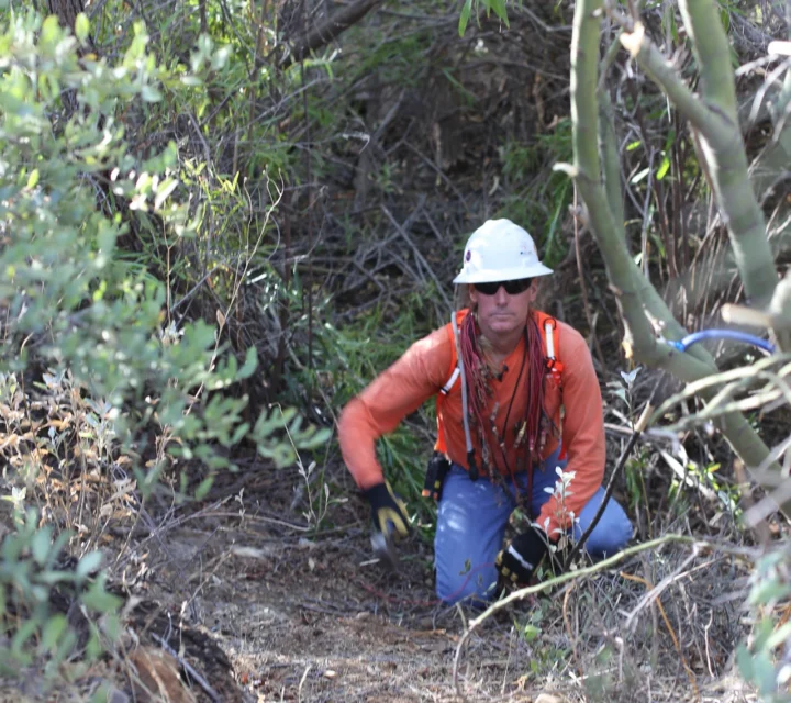
We collect subsurface profiling data non-invasively from the ground surface using geophysical instruments that measure variations in physical properties such as electrical resistivity and conductivity. These measurements detect contrasts in soil and rock behavior, contaminated or altered materials often produce distinctive electrical responses that reveal plume extents and migration pathways.
Our survey data is processed through inversion modeling to build high-resolution cross-sections visualizing subsurface structure, moisture content, and contaminant zones. By integrating multiple sensing technologies, subsurface profiling produces a continuous, non-destructive image capturing how fluids and contaminants move through the subsurface. This technology is critical for plume mapping, groundwater management, and long-term environmental risk reduction.

Subsurface profiling addresses uncertainty about what lies below the surface, where contamination, moisture, or geologic variability can influence site safety and environmental performance. It’s particularly valuable in identifying and mapping contamination plumes, where chemicals or impacted groundwater migrate through soil and rock.
By delineating these zones, subsurface profiling supports targeted remediation planning and early risk detection. It also reveals subsurface complexity, including soil structure, fluid pathways, and altered material zones, before excavation or drilling begins, enabling more informed and cost-effective decisions.
Subsurface profiling produces detailed maps and models of subsurface conditions, showing variations in material, moisture, and contamination. These results help identify plume migration paths, infiltration zones, and potential barriers that affect remediation or infrastructure design. Clients gain actionable insights for improved planning, compliance, and long-term monitoring, reducing guesswork and ensuring projects are informed by reliable, spatially comprehensive data.
We use multiple geophysical methods for subsurface profiling. These integrated technologies characterize variations in composition, structure, and moisture content, providing the data needed to map contaminant movement, delineate plume boundaries, and understand subsurface behavior for effective site management.
Electrical resistivity measures variations in subsurface electrical properties to reveal differences in material composition.
Electromagnetic induction measures variations in the Earth’s magnetic field to identify subsurface property differences.
Get the facts about subsurface profiling, how it works, why it matters, and how it supports plume mapping, groundwater protection, and improved environmental decision-making.
Subsurface profiling is the process of imaging subsurface materials to understand structure, moisture, and contaminant movement. The approach is essential for environmental site assessments and plume mapping.
Subsurface profiling detects conductivity changes associated with contaminated zones, helping delineate the extent and direction of migrating plumes.
Subsurface profiling reduces uncertainty, provides continuous spatial coverage, and complements borehole data to improve planning and remediation.
Subsurface profiling detects contamination plumes, buried features, fill material, or areas of altered moisture and soil density.
Subsurface conditions often change laterally and with depth. Subsurface profiling provides field-verified cross sections that help visualize material transitions and structural features to support planning and informed subsurface decisions.
Loading...

